Keep paths narrow
Follow existing trails and firm ground. Around soft or worn sections, avoid cutting corners or widening the path.
Northern Norway · 150 km
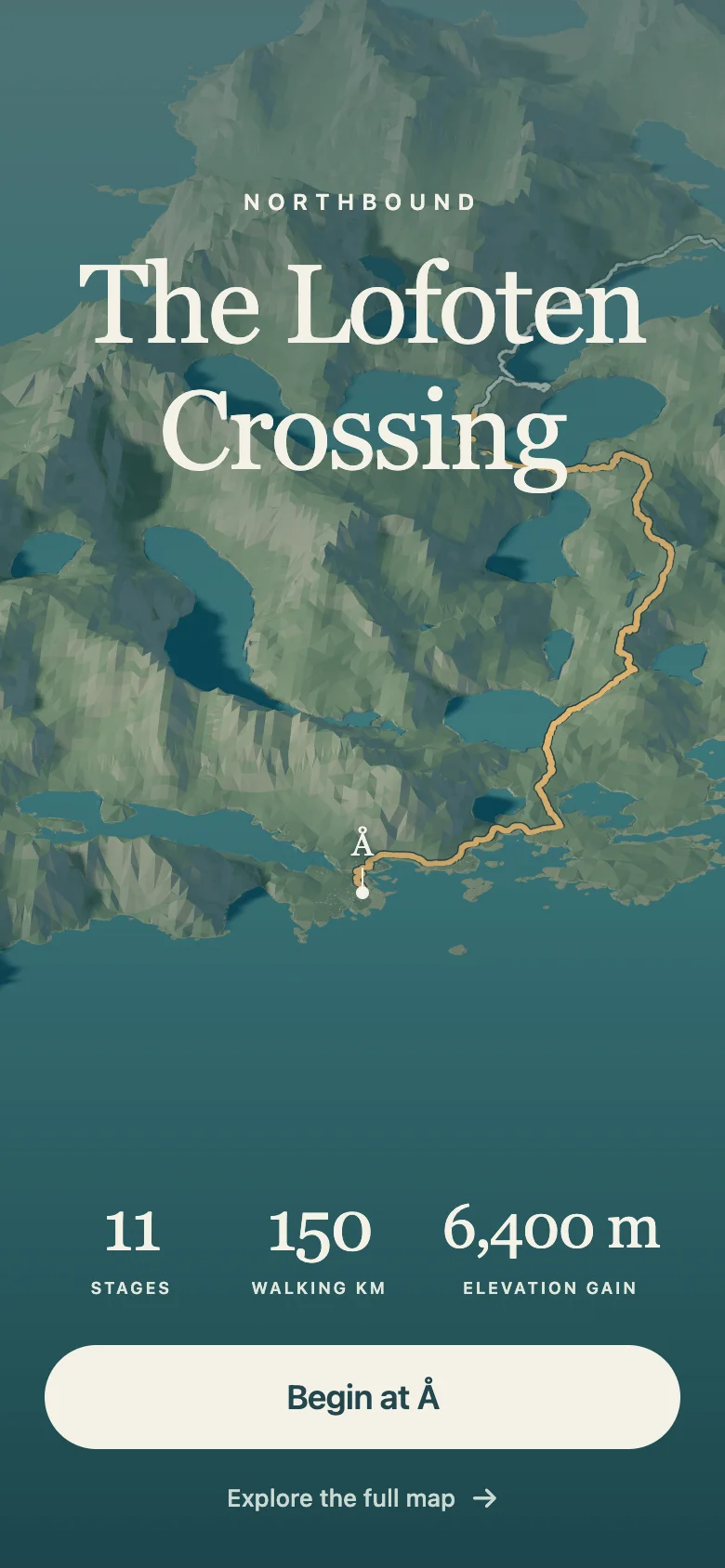
Eleven days from Å to Delp, through mountain passes, fishing villages and Arctic beaches.
01 / The walk
Our selected eleven-stage route can be walked northbound or southbound. It covers about 150 km on foot, with boat and road links between some sections.
The crossing’s appeal is the chance to see beyond Lofoten’s famous day hikes: fishing villages, remote beaches, mountain passes and the quieter ground between them. Expect steep climbs, rough or faint paths, fast-changing weather and stretches between supplies.
02 / How we walk
We want the crossing to leave healthy paths and welcoming places behind it. Walk lightly, share useful corrections, and let nearby communities benefit from the journey.
Follow existing trails and firm ground. Around soft or worn sections, avoid cutting corners or widening the path.
Carry out packaging and food waste. Use facilities where available, and check local guidance for camping, toilets and fires.
Pass homes, working farms and harbours quietly. Close gates, keep entrances clear and give livestock space.
Weather, erosion and access can change. Check current local notices before setting out and adjust your plans to what you find.
A path, service or access point may change after an app update. Tell us what changed, where and when so the next edition can be more useful.
Choose locally run cafés, shops and places to stay when you can. A meal, resupply stop or overnight stay keeps value in the places you pass.
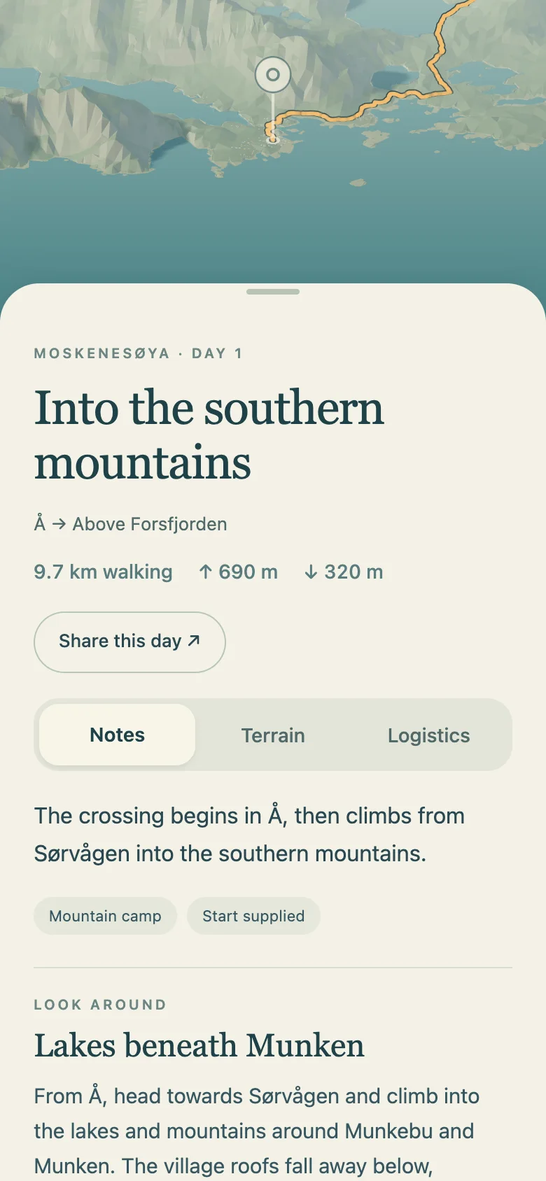
Day chapters include practical notes on transport, supplies and stays. Check current local guidance before walking.
03 / A closer look
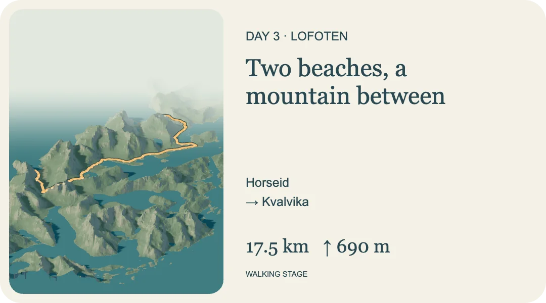
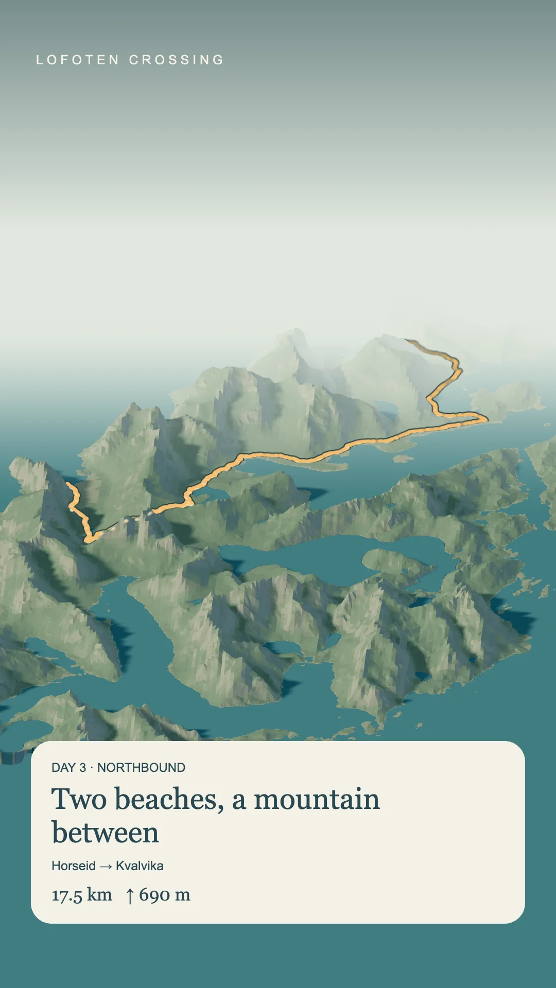
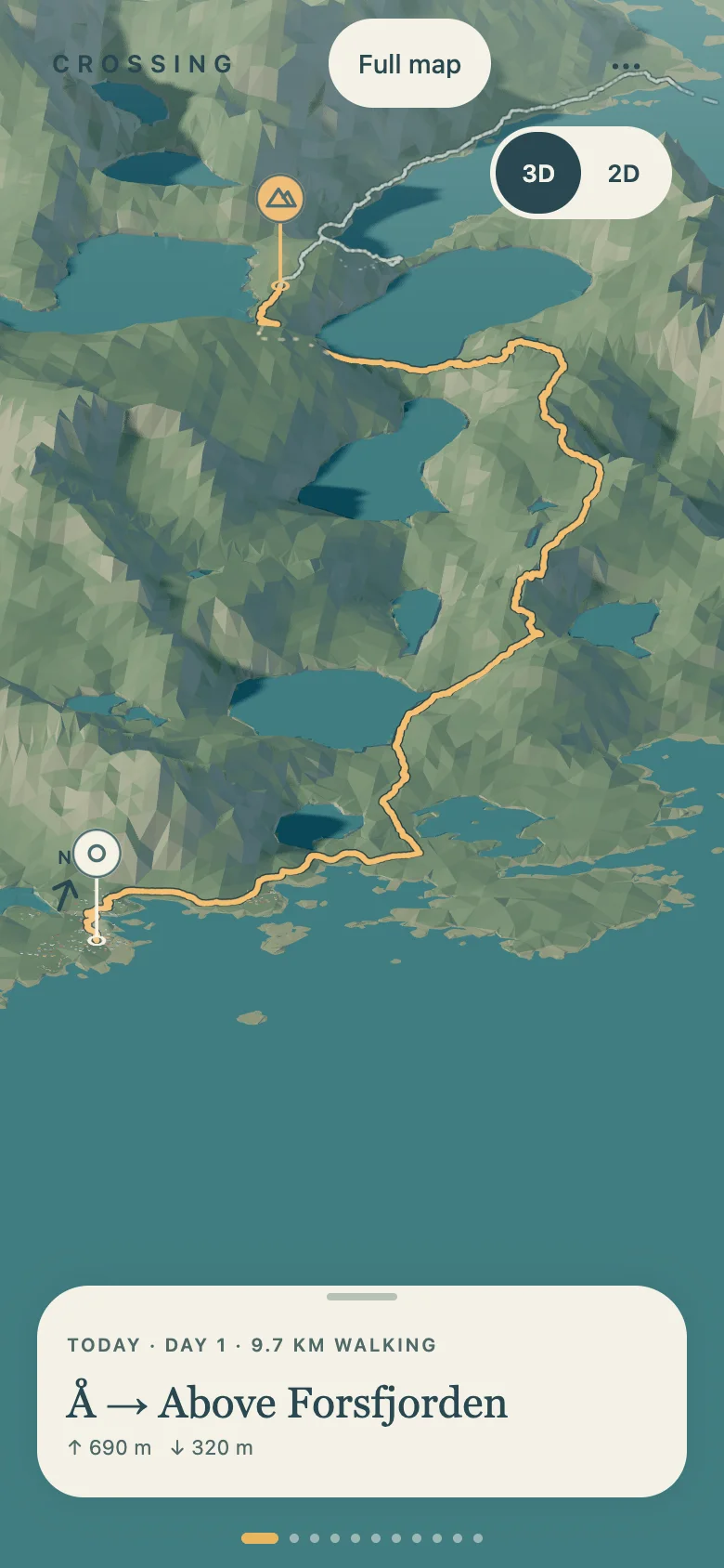
A terrain view shows the route through ridges, lakes and coast. Open the chapter for a concise picture of the walk, its calculated climbing and the places along the way.
04 / On the walk
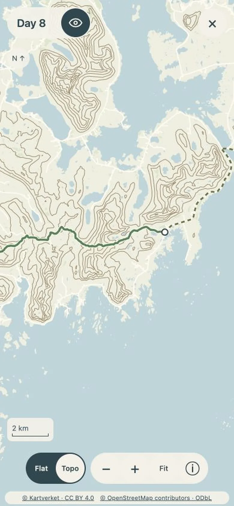
Switch to the detailed map to look at nearby trails, junctions and the ground ahead. The selected route stays visible alongside paths, roads and place names, with optional contours for a closer reading of the terrain. The map and contours are included for offline use when mobile reception drops.